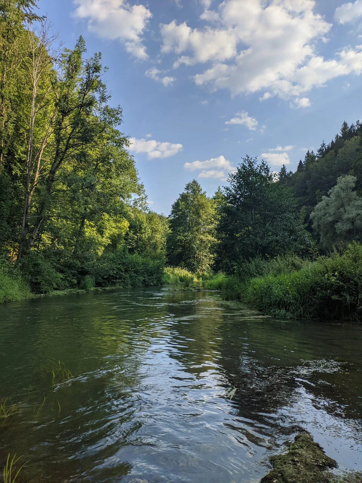
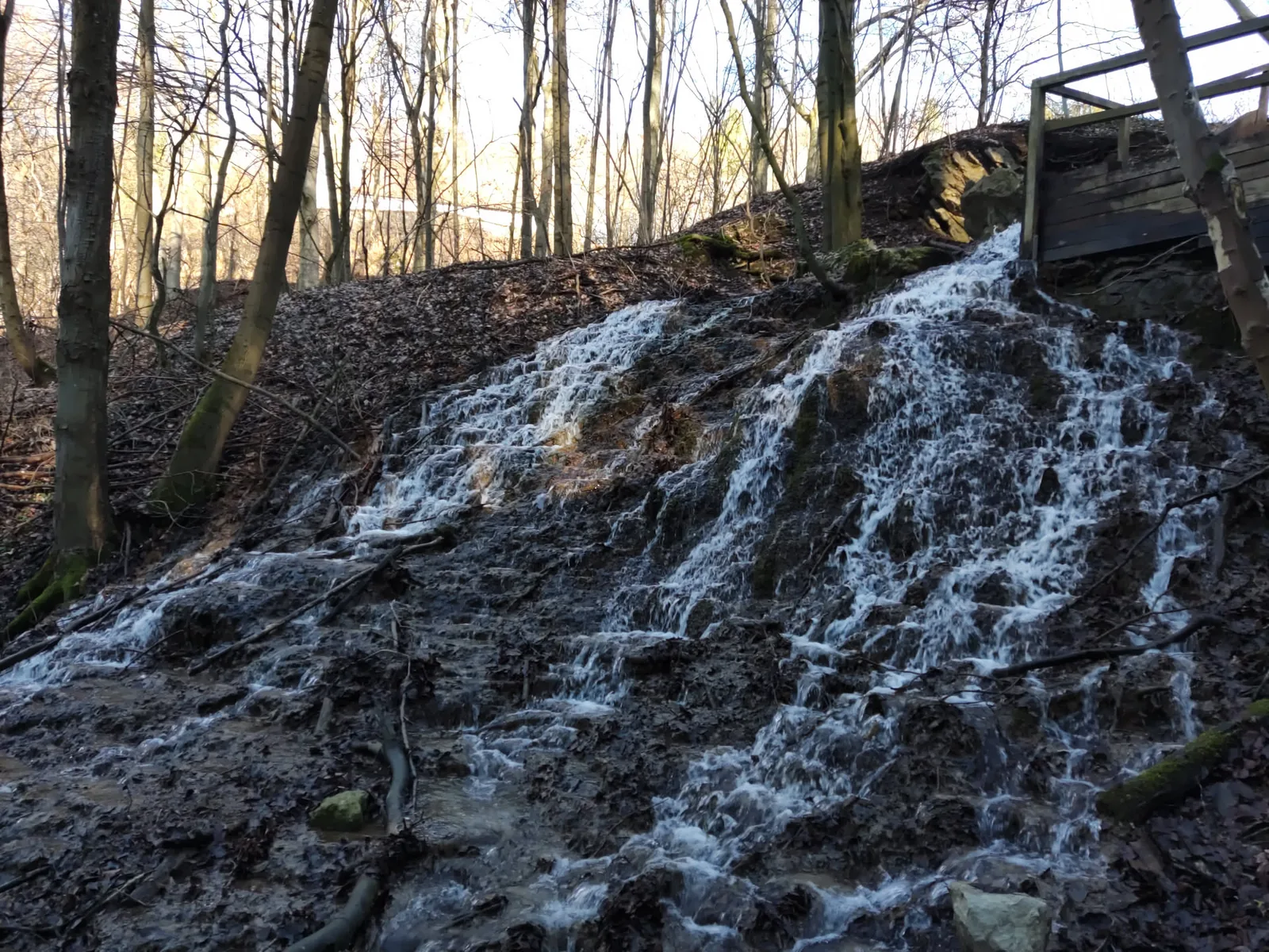
Water has shaped Franconian Switzerland and continues to do so to this day. The rivers have cut deep into the plateau, creating the valleys on whose slopes the cliffs stand.
💧 The Wiesent and its tributaries
The most defining river is the Wiesent. It rises near Steinfeld, flows through the region for around 78 kilometres and joins the Regnitz at Forchheim. Along its course, it takes in almost all the valleys that hikers come to know: the Aufseß, the Ailsbach, the Püttlach, the Leinleiter and the Trubach.
🕳 When streams disappear
In karst terrain, water follows its own course. Many side valleys lie dry because the stream has long since seeped away through crevices in the rock and only re-emerges kilometres further on. In contrast, the springs gush all the more vigorously, often right at the foot of a rock face.